
Storm to Make for Poor Travel Conditions Across Wyoming [VIDEO]
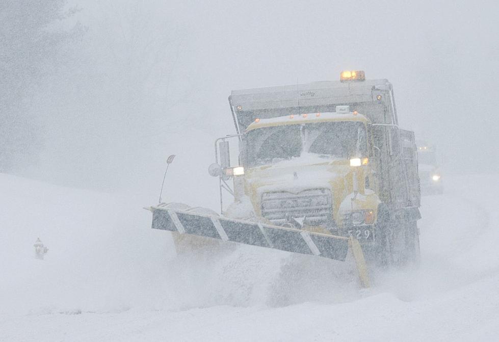
The entire Cowboy State is expected to see travel impacts from a strong spring storm which will bring heavy snow, high winds and much colder temperatures Tuesday night through Thursday.
"This will be a dangerous storm to be caught in, if left unprepared," K2 Radio Meteorologist Don Day of DayWeather, Inc., said in his latest WYDOT forecast.
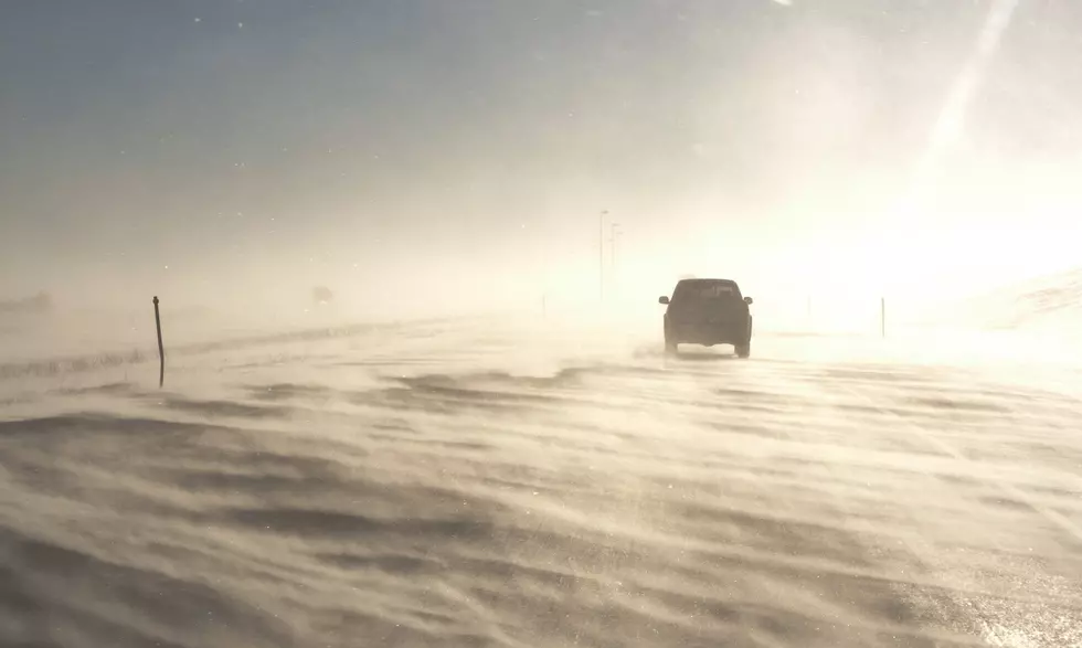
High travel impacts are expected for all three stretches of interstate highway in Wyoming.
The northern and western areas of Wyoming will start to see rain, snow and thunderstorm activity later Tuesday and overnight into Wednesday. By Wednesday morning, Day says, poor travel conditions will be found statewide and those conditions will continue through midday Thursday.
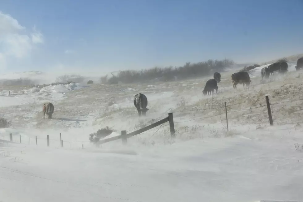
Eastern, central and northeastern Wyoming will see areas of blowing snow and limited visibility through Thursday. Much colder temperatures and cold wind chills are also expected.
Parts of eastern, east-central and south-central Wyoming will see areas of rain and snow turning to all snow by Wednesday morning. This area includes Newcastle, Gillette, Kaycee, Casper, Rawlins, Arlington, Douglas, Lusk and Sundance.
Areas of I-25 and all of I-90 could see snow, heavy at times, by mid- to late-morning Wednesday.
The eastern half of Wyoming will see periods of snow, heavy at times, with strong winds by Wednesday afternoon.
"Blowing and drifting of snow could be a big problem along the eastern border areas of the state and along I-90, I-25 and along I-80," Day added.
Near-blizzard conditions could arise at times in eastern Wyoming from midday Wednesday through Thursday morning.
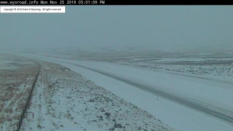
For the latest road conditions, visit WyoRoad.info, call 511 or download the Wyoming 511 app.
More From AM 1400 The Cowboy
![Winter Storm to Have High Impact on I-25, I-80 in Wyoming [VIDEO]](http://townsquare.media/site/101/files/2019/12/IMG_2265.jpg?w=980&q=75)
![WYDOT: Every Road in Wyoming to See Storm Impacts [VIDEO]](http://townsquare.media/site/99/files/2018/11/gettyimages-506282618-594x594.jpg?w=980&q=75)
![Casper PD: 6 Hospitalized, 2 Officers Hurt in DUI Crash [VIDEO]](http://townsquare.media/site/101/files/2019/01/police-lights-Alex-Schmidt-Thinkstock1111211.jpg?w=980&q=75)

![‘Very Poor’ Road Conditions Likely in Central, SE Wyoming [VIDEO]](http://townsquare.media/site/101/files/2019/03/Snow-Day-3-13-19.jpg?w=980&q=75)