

Winter Storm Warning For Casper: 8-12 Inches Of Snow Possible
UPDATE: The National Weather Service has now extended the Winter Storm Warning until 11:00 p.m. Monday, with a prediction of 8 to 12 inches of snow possible in the lower elevations. 12 to 18 inches or more is predicted for Casper Mountain.
***********************************************************************************************
The National Weather Service has now issued a Winter Storm Warning for the Casper area from 11:00 Sunday Morning to 5:00 p.m. Monday. NWS meteorologists say snow will be increasing across all of Western Wyoming Sunday morning and continue through the day, then spread east of the divide Sunday afternoon and continue into Monday
afternoon.
From the National Weather Service in Riverton:
* WHAT...Snow will gradually spread south across the area during
the mid to late morning. Snow will become quite heavy at times
this afternoon through much of tonight. Light to moderate snow
will persist through Monday. Total snow accumulations of 8 to 10
inches, with 12 to 18 inches on Casper Mountain.
* WHERE...Natrona County Lower Elevations and Casper Mountain.
* WHEN...From 11 AM today to 5 PM MST Monday.
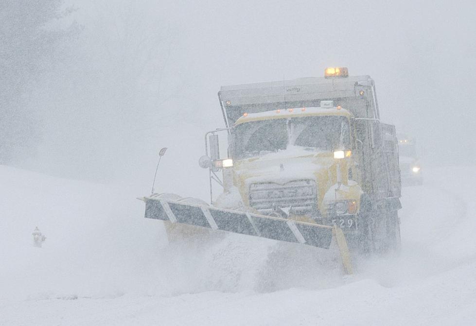
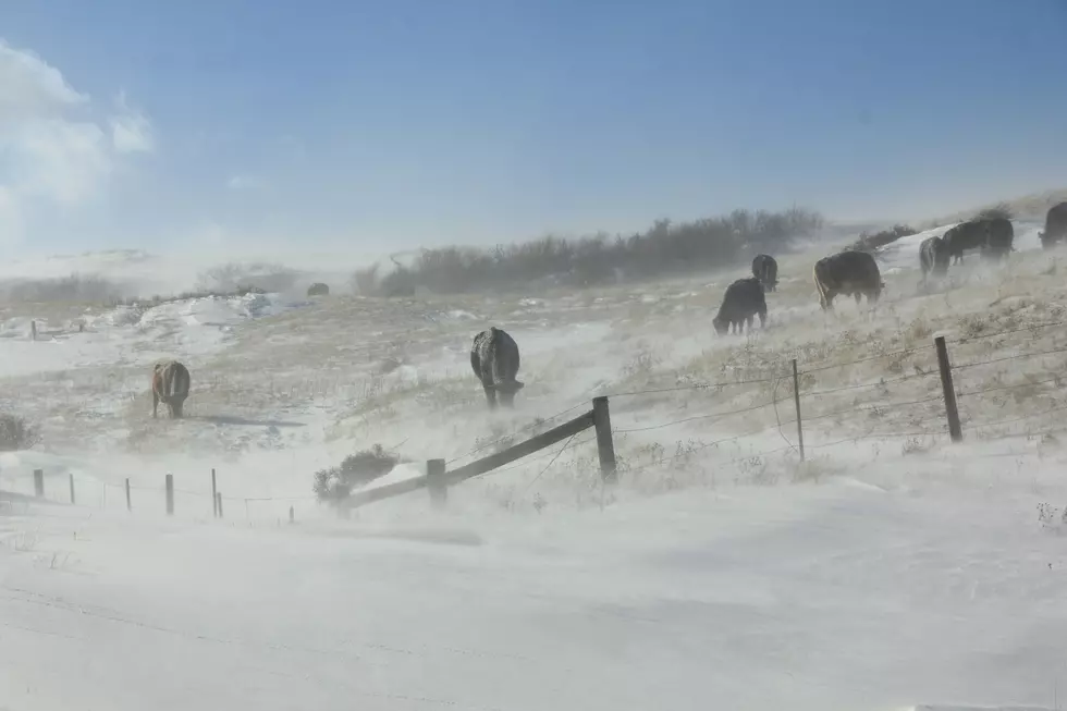
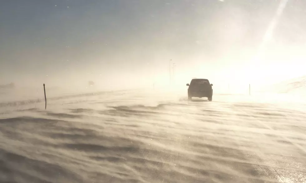
* ADDITIONAL DETAILS...Plan on difficult travel conditions.
Winds gusting as high as 30 mph will cause patchy blowing and
drifting snow. The cold wind chills as low as 25 below zero
could cause frostbite on exposed skin in as little as 30
minutes.
PRECAUTIONARY/PREPAREDNESS ACTIONS...
A Winter Storm Warning for snow means severe winter weather
conditions will make travel very hazardous or impossible. If you
must travel, keep an extra flashlight, food and water in your
vehicle in case of an emergency. The latest road conditions for
the state you are calling from can be obtained by calling 5 1 1.
More From AM 1400 The Cowboy


![Winter Weather to Impact Travel All Across Wyoming [VIDEO]](http://townsquare.media/site/102/files/2016/03/Winter_Storm_Driving.png?w=980&q=75)
![Storm to Make for Poor Travel Conditions Across Wyoming [VIDEO]](http://townsquare.media/site/98/files/2018/11/331.png?w=980&q=75)